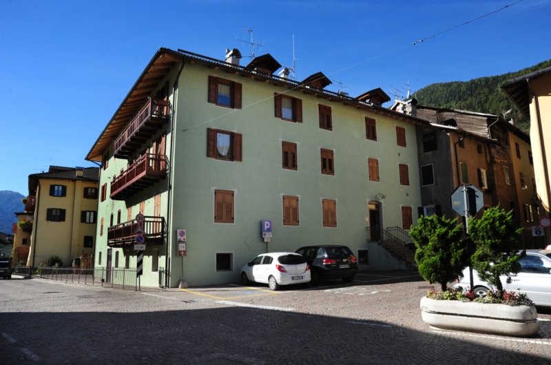
Val di Sole offers paths and nature trails for lovers of hiking, Nordic walking and trekking.
Nature trails that wind through the most beautiful and fascinating places in the Val di Sole.
Nature trails suitable for all levels of preparation, with altitudes ranging from 700 to 3700 meters.
The most beautiful trails in Val di Sole:
- Lago dei Caprioli trail: walking time 3 hours
It starts from the plain of Fazzon, from here you arrive at Malga Bassa, and proceed along the SAT 203 path, you immerse yourself in a characteristic wood that leads to an uphill road that winds eastward, continue and turn right until you reach a clearing from which you can admire the Cima Lastè. Continue on the path that leads to Malga Alta di Pellizzano, at an altitude of 1546m, from here continue following the signs for Regina del Bosco and you come to the Stablo lake. At this point, go down following the path located just below the Malga Alta and continue following the signs that lead to Lake Fazzon, at 1307m, known above all as Lago dei Caprioli. At this point, continue on the path that leads, after crossing the bridge, to the municipal road and then to Malga Bassa, the starting point.
- “Lago Piccolo” itinerary: walking time 3 hours
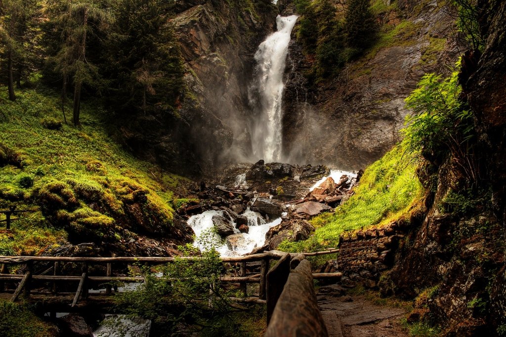
It starts from the parking lot above the village of Ossana, in the direction of Val Piana. Go back from the car park for about 300 meters and follow the path that crosses the Foce stream, pass the Votive Chapel of Sant’Antonio and follow the signs for Malga del Dosso, here the path leads to Malga Dosso. After the malga, continue on the left and follow the detour towards Lake Barco, from here the path also enters a characteristic larch wood, slightly downhill, you reach the lake, at an altitude of 1904 m. Once you reach the lake, follow the SAT 205 Lago Piccolo-Bochet de l’Olmet path, the route is slightly uphill, the Lago Piccolo is located at 2134 m.
- “Lago delle Salare” itinerary: walking time 9 hours
From the village of Malè you reach the Baita Regazzini car park and take the CAI-STA 374 path in the direction of Rio San Biagio, here the path begins to climb, you pass a stream and you reach the Mezòl bivouac, at 485 m. From here the path deviates to the left and follows a path that leads to the Peller refuge, at 2022 m. Just before arriving at the refuge (where you can choose to stay for the night and continue the route the following day) you come across the Dorigat basin. At this point, continue following the CAI SAT 337 route, an uphill route that leads to the top of Monte Peller, at 2320m, continue downhill towards Malga Tassulla, from here the path leads to Pian della Nana and Passo della Forcola, at 2104 m. Following the SAT 308 route, you skirt the western side of Monte Pellerot up to Lago delle Salare, then return to the path and follow the signs for Malga Clesera, at 1889 m, the path at this point leads through the woods to Prà della Selva and descends towards the CAI-SAT 308 path, leading back to the starting point.
- “Mantova al Vioz refuge” itinerary: (2 days)
It starts from the village of Peio Fonti, with the cable car you go up to the Scoiattolo refuge and by chairlift up to the Doss dei Gembri refuge. From here, take the SAT 105 path, continue following the signs for the Dente del Vioz and reach the Mantova refuge, where you will stop for the night. We leave again the next morning, and in 15 minutes we reach the top of Monte Vioz, from here we can admire the wonderful panorama of the Forni Glacier, with a view of the “13 peaks”. Then go back towards the Mantova al Vioz refuge, continue towards the Doss dei Gembri refuge and from here, taking path 105 back to Peio Paese.
- Capanna Presena refuge itinerary: (2 days)
It starts from path 281, near the road that leads to the Presena bed. From here continue on the path, following the mule track dating back to the 1st World War. The route winds through a small climb that leads to the lakes of Passo Paradiso, after the lakes you continue on path 209, in the direction of the Capanna Presena refuge, where you stop for the night. The following day, starting from the Capanna Presena refuge, continue in the direction of Passo Maroccaro, skirting the glacier on the right, then continue in the direction of Val di Genova, following route 21, here you reach Pozza delle Marocche and take path 209, towards the Mandrone refuge. Then descend towards the Val di Genova, following route no. 212 and you reach the Rifugio di Bedole, and continue towards Carisolo.